
PR-LP 9: Hiking trail from Los Andenes to Santo Domingo de Garafía
The PR-LP 9 is one of the largest descent routes in La Palma: 18.3 kilometers, 2,121 m descent, 356 m ascent – difficult, 6:30–7:30 hours. The path leads from Mirador de Los Andenes at an altitude of over 2,200 meters through several levels of vegetation to Santo Domingo de Garafía at 368 meters. Utilization: moderate.
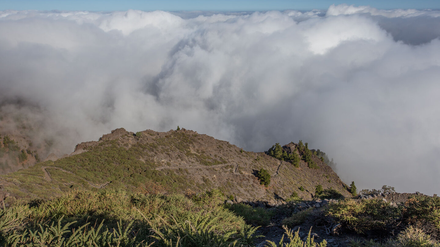
On the way you pass the Pinar de Garafía Integral Nature Reserve – one of the best pine forest areas on the island. Then Roque del Faro with the El Reyes restaurant. The Parque Cultural La Zarza petroglyph park as a cultural highlight. The pilgrimage church Ermita de San Antonio del Monte with campsite. The Fuente de la Huerta spring with a rest area just before the destination.
Start: Pista de Gallegos near Mirador de Los Andenes, LP-4. End: Mirador El Chorro in Santo Domingo de Garafía. Since the route from Roque del Faro leads through inhabited areas, it can be canceled at any time. If there is snow and ice in the high mountains: do not attempt this hike.
Route facts at a glance
| Route type | Distance (Los Andenes → Santo Domingo de Garafía) |
|---|---|
| Distance | 18.3 km |
| Altitude | 356 m ascent / 2,121 m descent |
| Highest point | 2,279 m |
| Lowest point | 368 m (Santo Domingo de Garafía) |
| Duration | 6:30-7:30 hours |
| Difficulty | difficult (easy to follow, sure-footed, good basic fitness) |
| Starting point | Pista de Gallegos at Mirador de Los Andenes, LP-4 |
| End point | Mirador El Chorro, Santo Domingo de Garafía |
| Path marker | PR-LP 9 (yellow-white) |
| Protected area | Caldera de Taburiente / Reserva Natural Integral Pinar de Garafía National Park |
| Equipment | Provisions, water, sturdy shoes, sun protection, rain protection, wind protection |
Directions
Starting point: Pista de Gallegos near the Mirador de Los Andenes on the LP-4. A short section of the PR-LP 9 leads over the LP-4 to the GR-131, then to the Pista de Gallegos. After 300 meters turn left onto the concreted track and follow the PR-LP 9. Return journey from Santo Domingo: Taxi or bus recommended – Garafía municipality is in the extreme northwest, return journey approx. 60-90 minutes.
The route in detail
Los Andenes to Barranco de los Hombres (km 0-5.7)
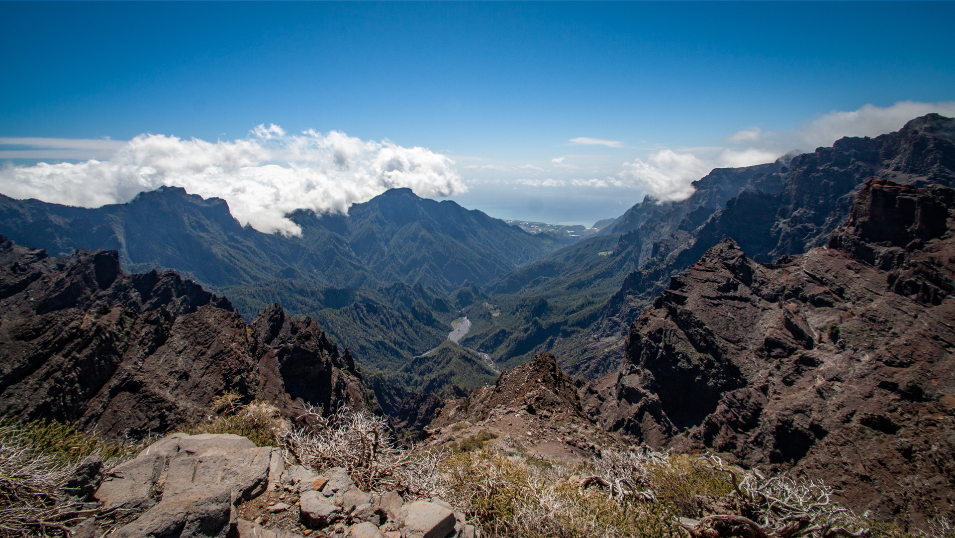
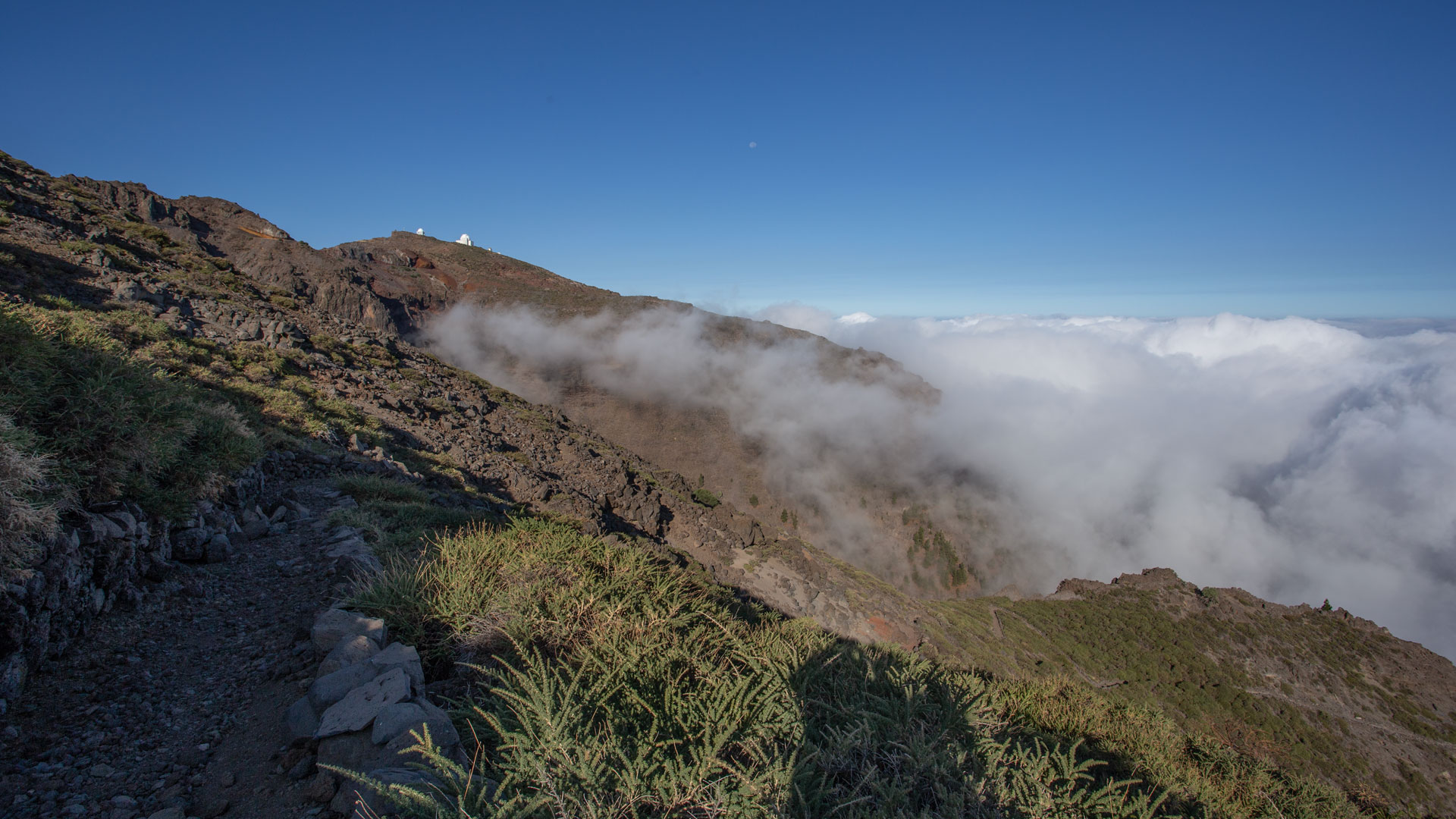
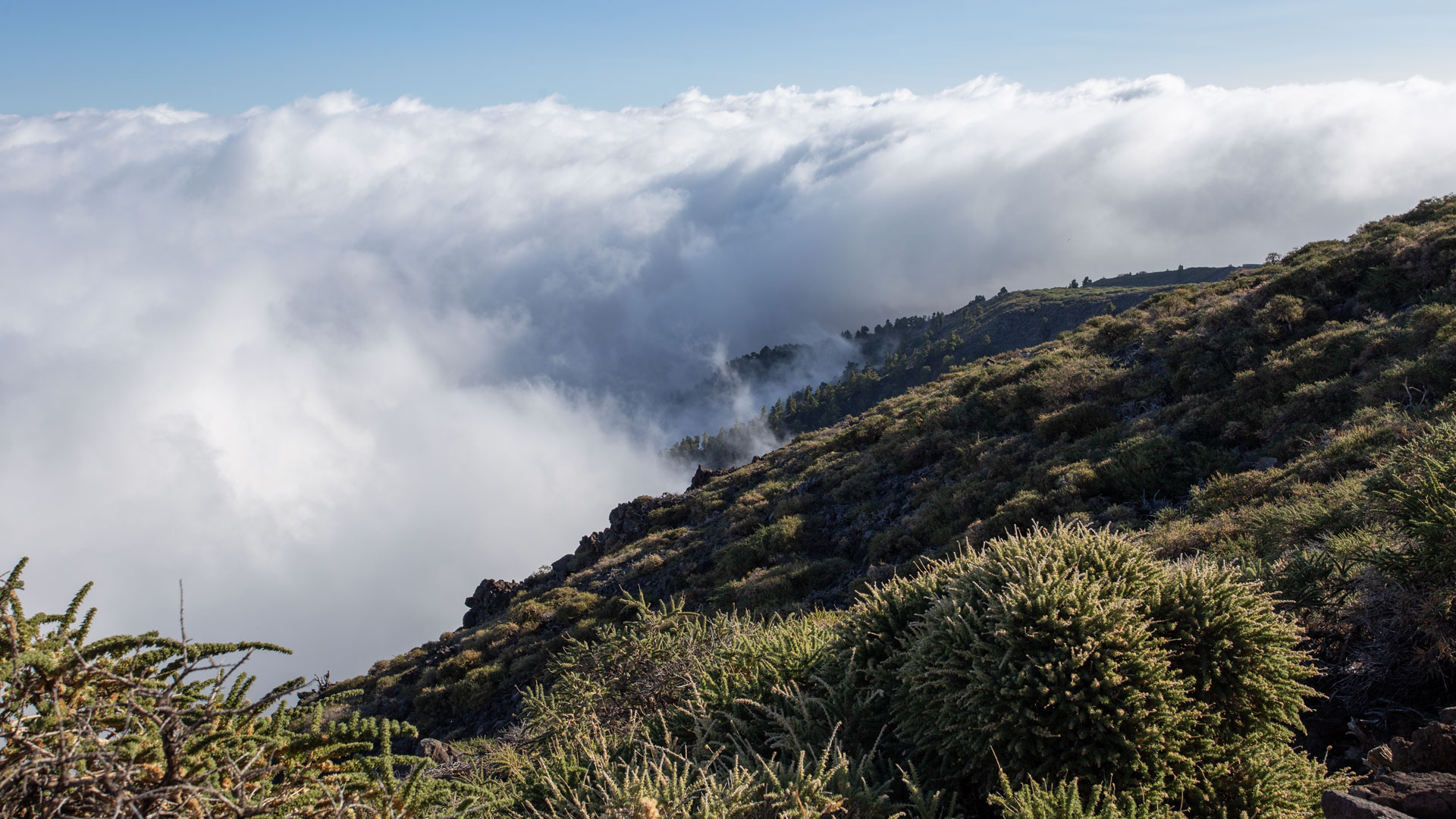
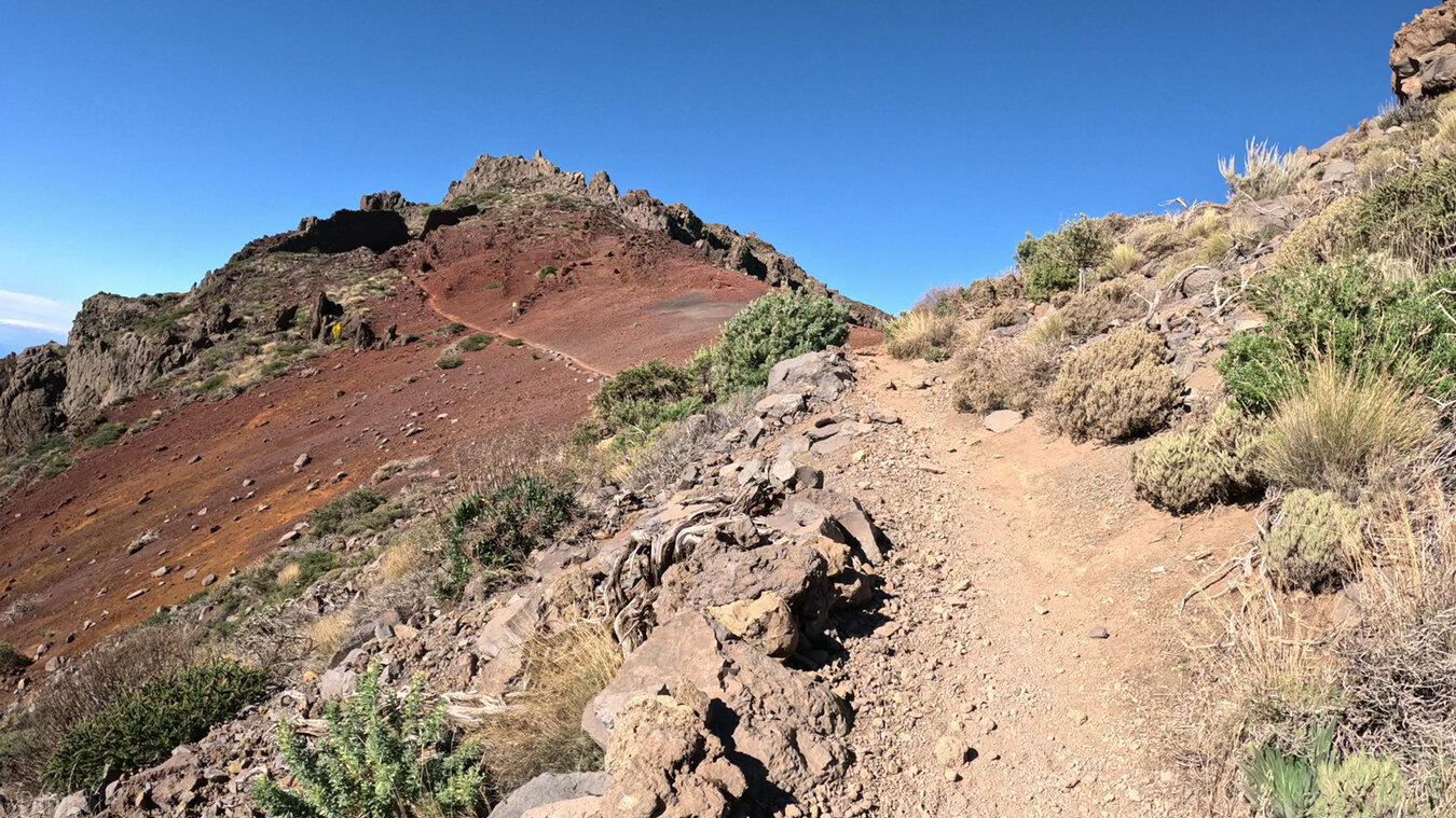
Breathtaking views over the Caldera de Taburiente National Park from the Mirador de Los Andenes. The first kilometers through the high mountain vegetation of the Cumbre de Los Andenes: bushes, shrubs, open lava fields. Winding downhill over rocky sections to the Lomo de Los Corraletes ridge. Between Canary Islands pines and cistus along the mountain ridge – views all the way to the north coast. Then through the Pinar de Garafía nature reserve: dense pine forests, which are particularly rich in species due to their location on the side of the trade wind clouds.
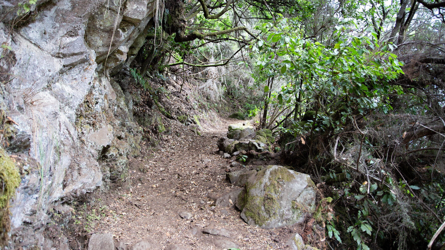
After 4.9 km the path leaves the ridge route and descends left into the Barranco de los Hombres ravine. Pine trees mix with heather and laurel. At the crossroads on the left: wide road over a bridge. The PR-LP 9 meets the PR-LP 20 (Briesta – Barlovento), where both routes run together for 600 metres before the PR-LP 9 branches off to the right towards Roque del Faro.
Roque del Faro and La Mata (km 7.6–11.5)
The PR-LP 9.1 joins at Roque del Faro (km 7.6). Do not rely on the El Reyes restaurant being open — check opening times in advance. The PR-LP 9 turns left towards La Mata (the PR-LP 9.1 goes straight downhill to El Tablado). Cross LP-1, constantly going up and down parallel to the mountainside. Cross Barranco de Carmona and Barranco Capitán. At km 11.5 you reach La Mata and the LP-1 again. There is also a restaurant here, Restaurante la Mata — check opening times in advance.
La Zarza, Ermita San Antonio, Fuente de la Huerta, Santo Domingo (km 11.5-18.3)
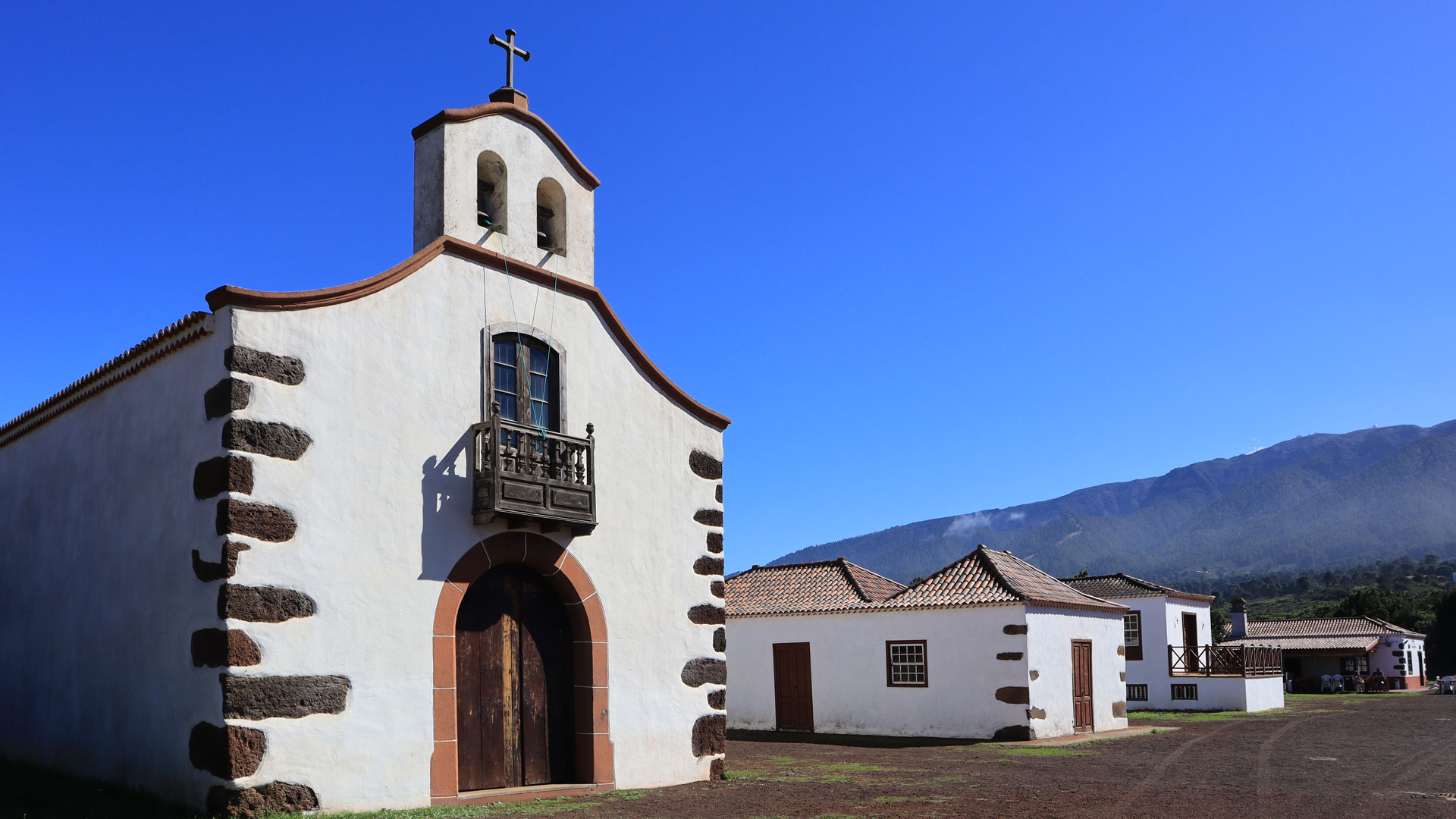
Trail junction to PR-LP 9.2, then 100 meters along LP-1 to the petroglyph park Parque Cultural La Zarza. After the park, continue briefly on LP-1, then turn right. Through rural cultural landscapes and tree heath to the pilgrimage church Ermita de San Antonio del Monte (km 14.4) with campsite and restaurant.
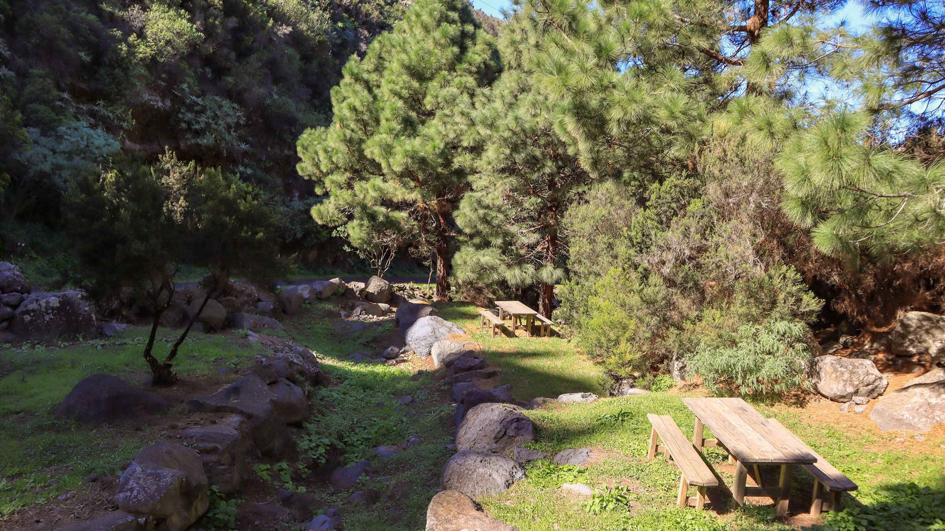
After km 17 the Fuente de la Huerta in the Barranco de los Sables gorge: rest area with wooden tables and benches. Opposite: Entrance to a water tunnel driven into the rock – a historic irrigation system. The last 1.2 km leads to Mirador El Chorro in Santo Domingo. Left: Town centre with restaurants and bars near the Iglesia Nuestra Señora de La Luz.
The Pinar de Garafía Nature Reserve
The Reserva Natural Integral del Pinar de Garafía is one of the most species-rich pine forest areas in the Canary Islands. Due to its geographical location in the northern part of La Palma, on the trade wind cloud side, it plays an important role in enriching groundwater. The area is home not only to the Canary Islands pine (Pinus canariensis), but also to the rare Gentian-leaved Viper’s Bugloss (Echium gentianoides).
The dense pine forest absorbs the trade wind fog and feeds the groundwater. The Fuente de la Huerta at the end of the route shows this cycle visibly: the spring water at the rest area comes from the pine forest further up. The reserve is completely protected – no leaving the marked paths.
The La Zarza Cultural Park
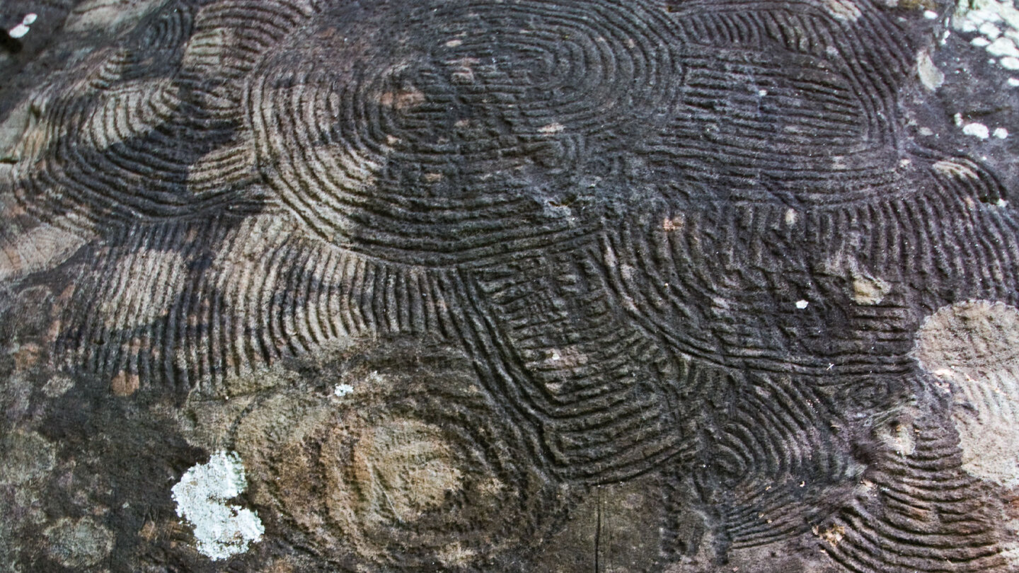
La Zarza is a cultural park in Garafía with important petroglyphs of the Benahoritas – the indigenous people of La Palma. The rock engravings can be viewed in the open air on a circular route, supplemented by a small museum. The motifs show geometric shapes, spirals and line patterns. La Zarza is one of the three most important petroglyph sites on La Palma, along with the Ecomuseo Belmaco and the Erita de los Guanches.
Best travel time
| Season | Character | Note |
|---|---|---|
| Spring (March-May) | Best conditions — fresh pine forest | Start early; long tour |
| Summer (June–August) | Starting point often above clouds | Start early; large amounts of water |
| Autumn (Sept–Nov) | Clear visibility; good light | Most popular season; Coordinate return trip |
| Winter (Dec–Feb) | Snow/ice possible at 2,200 m | Only in safe conditions |
Accommodation: Garafía — Clariso
Santo Domingo de Garafía is the destination. Garafía has 3 holiday homes on Clariso: Casa Micaela (492 m, Santo Domingo), Casa Vila (394 m, Santo Domingo) and Casa Julia (625 m, Las Tricias). clariso.eu — Holiday homes Garafía.
Combinable tours
The PR-LP 9 is one of the longest daytime descents in La Palma. The other major descent routes to the east and northeast also start from the same starting point on LP-4:
| Tour | Data | Character |
|---|---|---|
| PR-LP 7: Pico de la Cruz → Los Sauces | 14.4 km, difficult | Big descent towards the east |
| PR-LP 8: Pico de la Cruz → Barlovento | 11.9 km, difficult | Short descent to the northeast |
| Hike Mirador de los Andenes → Roque de los Muchachos | 7.1 km, moderate | A ridge route as an alternative |
GPS track and 3D route planner
For 18 km with several crossroads, a GPS track is absolutely necessary. The junctions at Roque del Faro (PR-LP 9 left, PR-LP 9.1 straight ahead) and at La Mata (PR-LP 9.2) are marked in the track.
To the route page on Sunhikes: PR-LP 9 Los Andenes – Santo Domingo de Garafía
3D route planner from Sunhikes
Practical tips
Coordinate the return journey from Santo Domingo in advance. 7+ hours walking time: early start mandatory. The tour can be stopped at Roque del Faro. Don’t plan restaurants on the route as safe – check opening times in advance. Emergency call 112.
Note: National Park and Nature Reserve
Parts of the route in the Caldera de Taburiente National Park and the Reserva Natural Integral del Pinar de Garafía. Road restrictions, garbage collection, fire ban.
Frequently asked questions
What is the Parque Cultural La Zarza?
Can you finish the hike at Roque del Faro?
What is the Fuente de la Huerta?
Santo Domingo de Garafía — The Destination
Santo Domingo de Garafía is the main village of the Garafía municipality in the far northwest of La Palma. The municipality is the largest on the island by area but sparsely populated — around 1,700 inhabitants across 110 km². Santo Domingo lies at 368 metres, overlooking the steep northern coastline. The Mirador El Chorro is the natural endpoint of the hike — from here you can survey the coast and see where you came from.
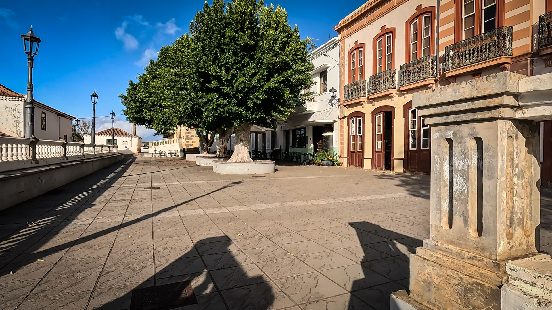
In the centre of Santo Domingo: the Iglesia Nuestra Señora de La Luz, an imposing colonial church building. Restaurants and bars along the main street. Garafía is known for its goat cheese – one of the best in La Palma is produced here – and for its traditional farming in the terraced fields. If you stop off after the long descent, order the local cheese with Mojo Verde.
Garafía: the municipality with the most petroglyphs
Garafía is home to more known petroglyph sites than any other municipality in La Palma. In addition to the Parque Cultural La Zarza directly on the hiking trail, there is La Zarcita and several smaller archaeological sites. The Benahoritas apparently had important ceremonial sites in this remote northwest corner of the island. The location of the sites – often on ridges with a view – suggests astronomical or ritual significance.
If you want to split the tour into two days, Roque del Faro is a natural stopping point: from here the place can be reached by taxi or bus, and the second part of the route (Roque del Faro to Santo Domingo, approx. 10.7 km) can be done independently. The first part (Los Andenes to Roque del Faro, 7.6 km) is a compact high mountain descent without the long cultural landscape. Both halves have their own character.
A detail that hikers appreciate: The cafés and restaurants in Santo Domingo – at the end of the long tour – are real village restaurants, not tourist restaurants. After 7+ hours of walking and over 2,000 meters of descent, that’s a difference. The cuisine is Canarian, the cheese is from Garafía, the wine comes from local producers.
This article is based on the on-site knowledge of the Gequo editorial team – publisher of the Reisezeit hiking guides and operator of Sunhikes.com. As of: May 2026


