
GR-131 El Bastón Stage 1: from Puerto de Tazacorte to Roque de los Muchachos
The GR-131 El Bastón is La Palma’s major long-distance hiking trail: 87 kilometers from the Atlantic in Puerto de Tazacorte to the Faro de Fuencaliente in the south, via the highest point on the island. The first stage leads from the sea to the summit – from Puerto de Tazacorte at 2,426 meters to the Roque de los Muchachos. A climb through all climate zones and vegetation levels of La Palma in a single day.
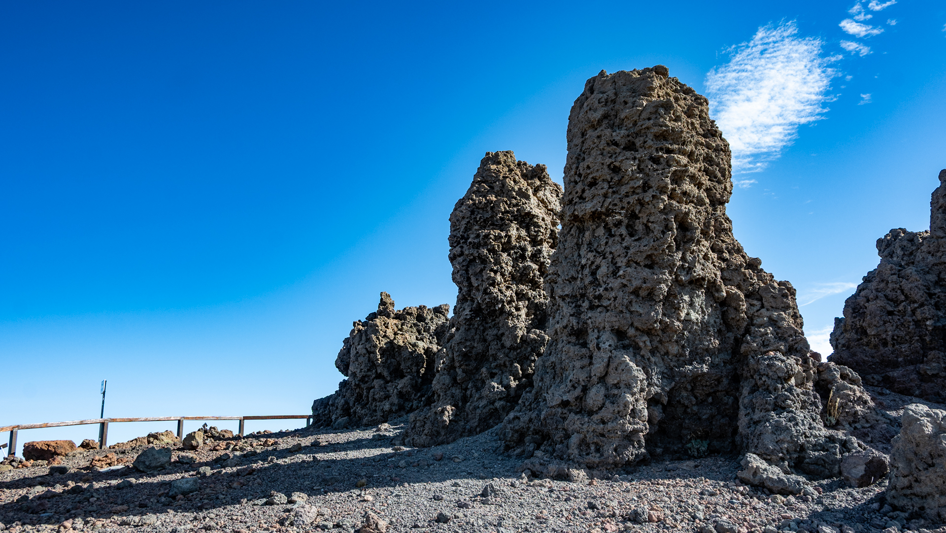
The trail begins in Puerto de Tazacorte, where the surf hits black rocks. A simple sign at the foot of the cliff marks the beginning. What follows: steady climb northeast through terraces, banana fields, vineyards, avocado fields. Then pine forest. Then high mountains. Then the summit. Sunhikes describes this stage as an epic hike over La Palma’s spine.
According to Sunhikes, the stage is suitable for sure-footed hikers with good basic fitness, with alpine terrain in the upper section. Walking time: 9 – 11:30 hours depending on your fitness level. Directions to Puerto de Tazacorte; Return journey from Roque de los Muchachos by taxi or pre-arranged pick-up.
Route facts at a glance
| Route type | One-way route (Puerto de Tazacorte → Roque de los Muchachos) |
|---|---|
| Distance | approx. 16.9 km (stage 1) |
| Altitude | approx. 2,732 m ascent / 345 m descent |
| Highest point | 2,426 m (Roque de los Muchachos) |
| Lowest point | 27 m (Atlantic, Puerto de Tazacorte) |
| Duration | 9:00 – 11:30 hours |
| Difficulty | difficult (alpine terrain, good basic fitness, sure-footed) |
| Starting point | Puerto de Tazacorte — sign at the foot of the Cliff |
| End point | Roque de los Muchachos, LP-4 |
| Waymarking | GR-131 (red-white) |
| Protection status | Caldera de Taburiente National Park (upper part) |
| Equipment | Provisions, water, sturdy shoes, sun protection, rain and wind protection, layering system |
Directions and logistics
Puerto de Tazacorte is located on the west coast of La Palma, easily accessible from Los Llanos de Aridane (approx. 10 minutes). The starting point is the sign on the coast. Return journey from Roque de los Muchachos: Organize a taxi in advance or a second car at the end point. The Roque can also be reached by car via LP-4 – so you can park one car at the start and one at the finish.
The route in detail
Puerto de Tazacorte to La Punta (0–270 m)
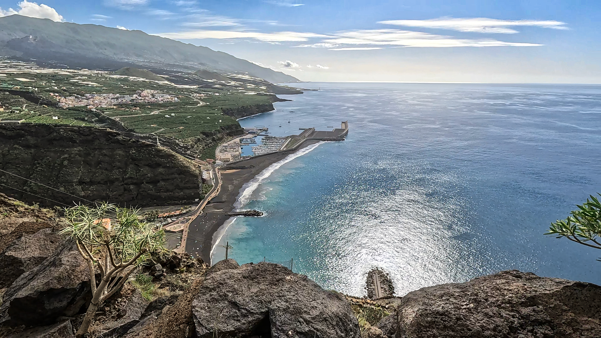
The path starts at the sea and immediately climbs. Strategically placed steps make it easier to climb to the La Punta viewpoint at 270 meters. From here the view opens over the southwest coast, the sea and the Fajanas — the new lava platforms that the Tajogaite volcano created in 2021 when the lava flowed into the sea.
Medium altitudes: terraces, wine and avocado (270-600 m)
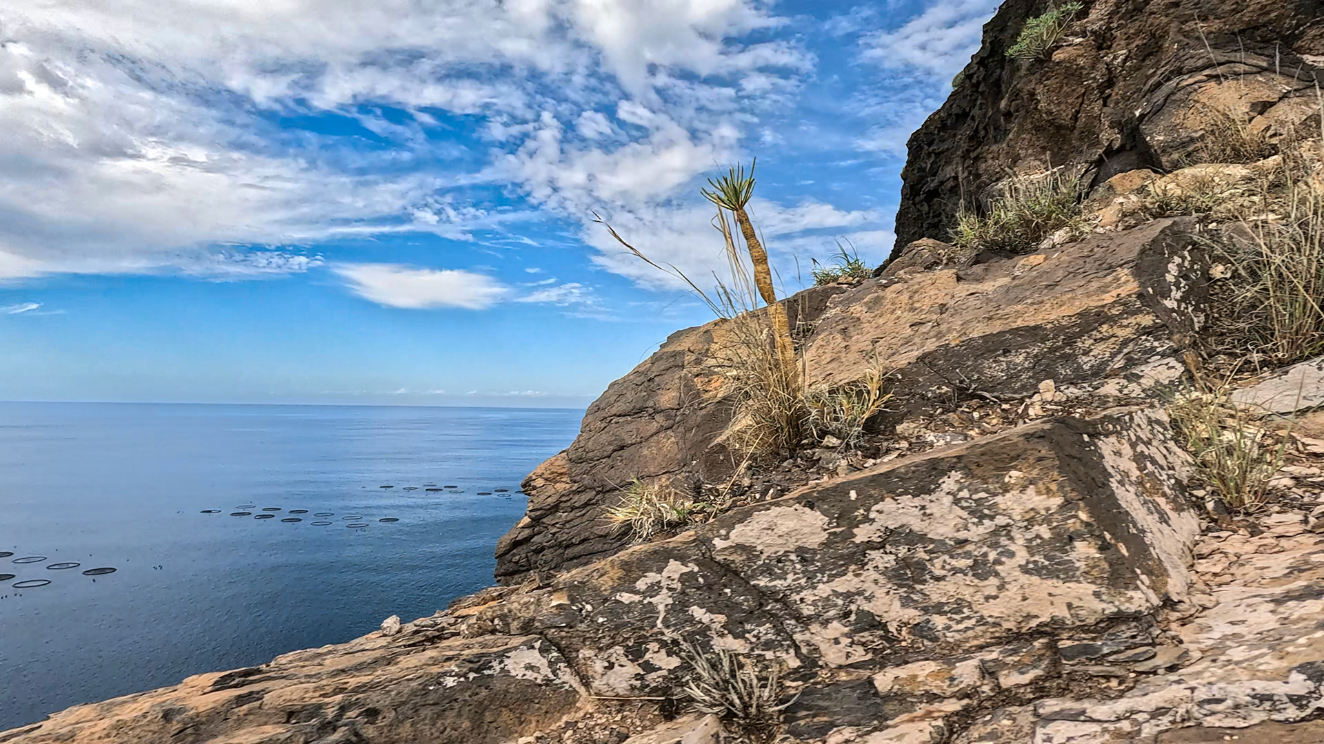
The path winds through agricultural terraces. Banana fields, vineyards, avocado gardens. Pass La Punta and the Mirador El Time viewpoint with spectacular views of the Aridane Valley, the Tajogaite lava flows and the coastal cliffs. At about 600 metres altitude: impressive views of the Aridane Valley, the Cumbre Vieja ridge and the Barranco de las Angustias gorge. This is where the transition to the mid-altitude zone begins — as the first Canary Island pines appear.
Pine forest and high mountains (600–2,100 m)
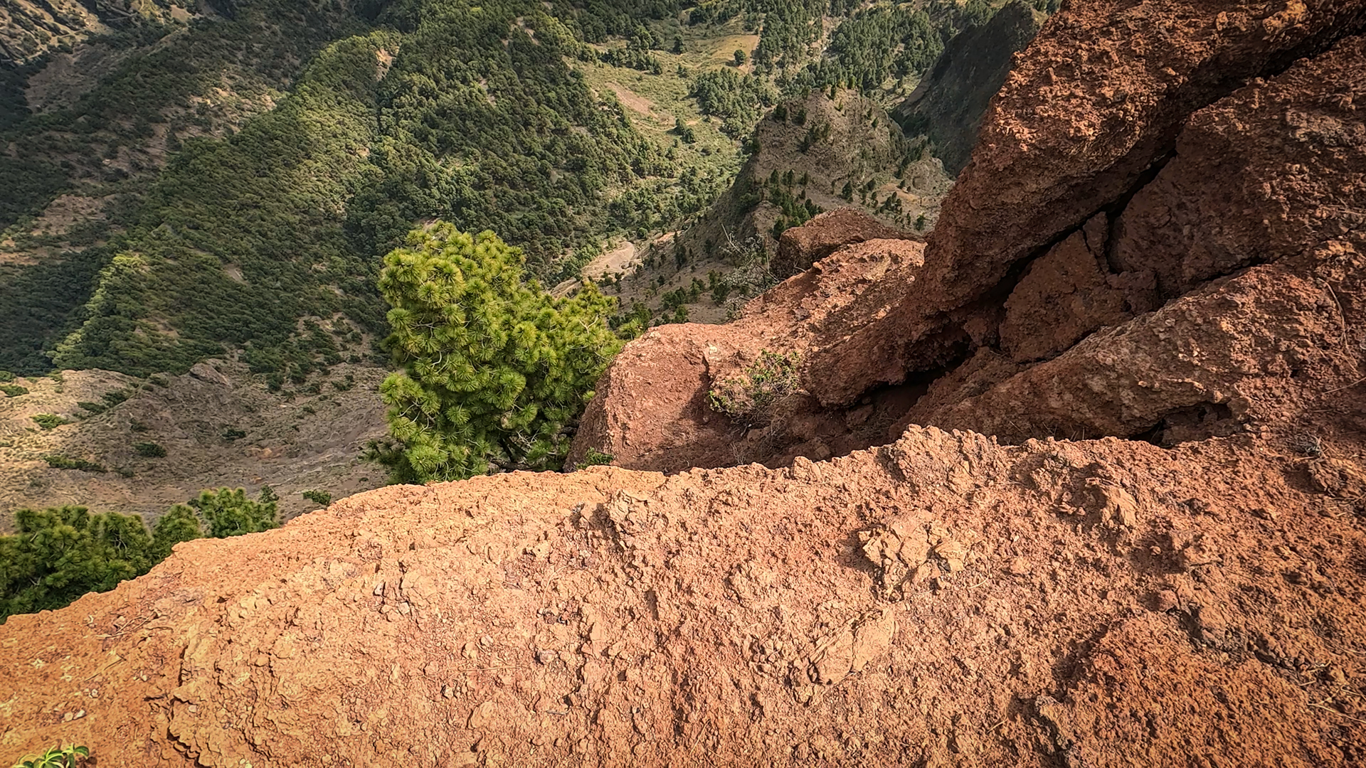
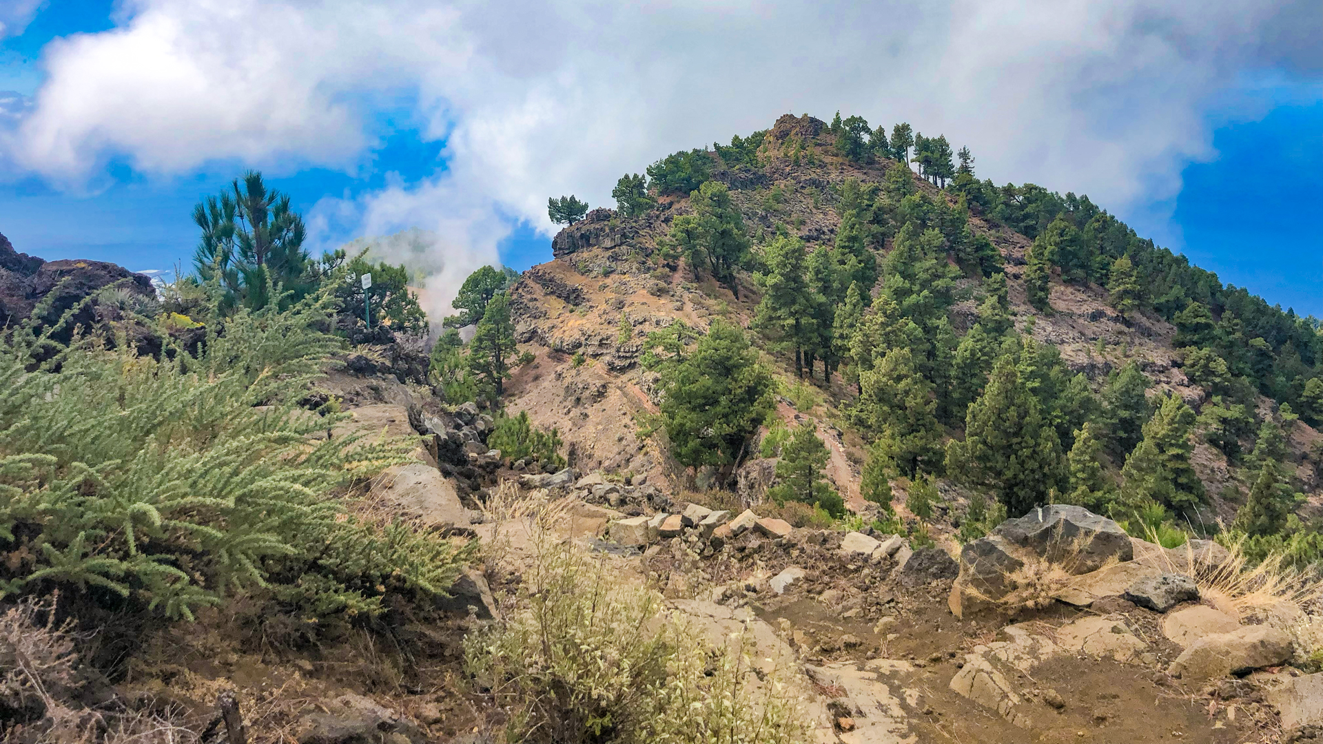
As you gain altitude, the path becomes steeper and rockier, leading over large basalt boulders. Agriculture gives way to pine forests (Pinus canariensis), the air becomes drier and the sun grows more intense. You feel the change not just with your eyes, but throughout your entire body. The forest opens up at 1,800 metres. First signs of high-altitude vegetation appear: Tajinaste (Echium gentianoides) and Bencomia exstipulata. Wind and cold shape them into stocky, resilient forms.
Final: Pinos Gachos to Roque de los Muchachos (2,100–2,426 m)
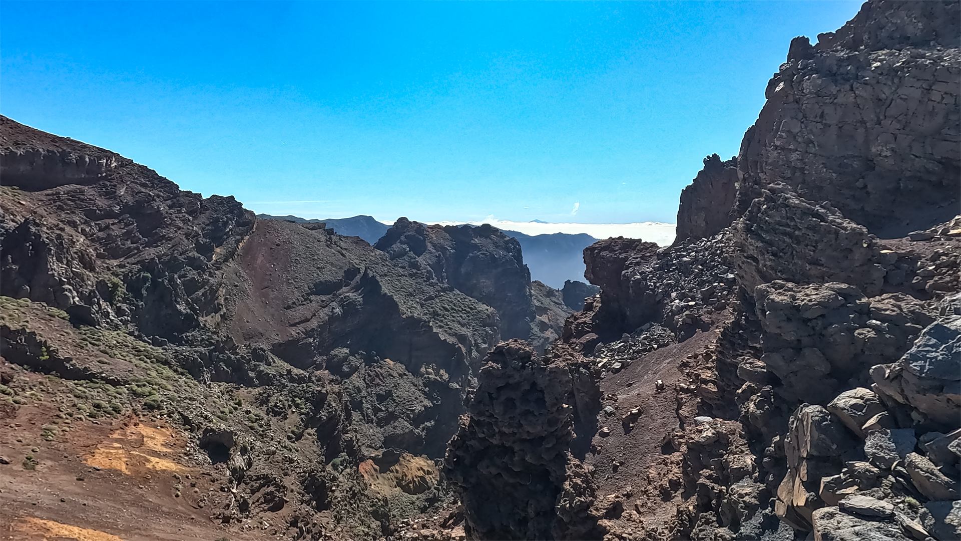
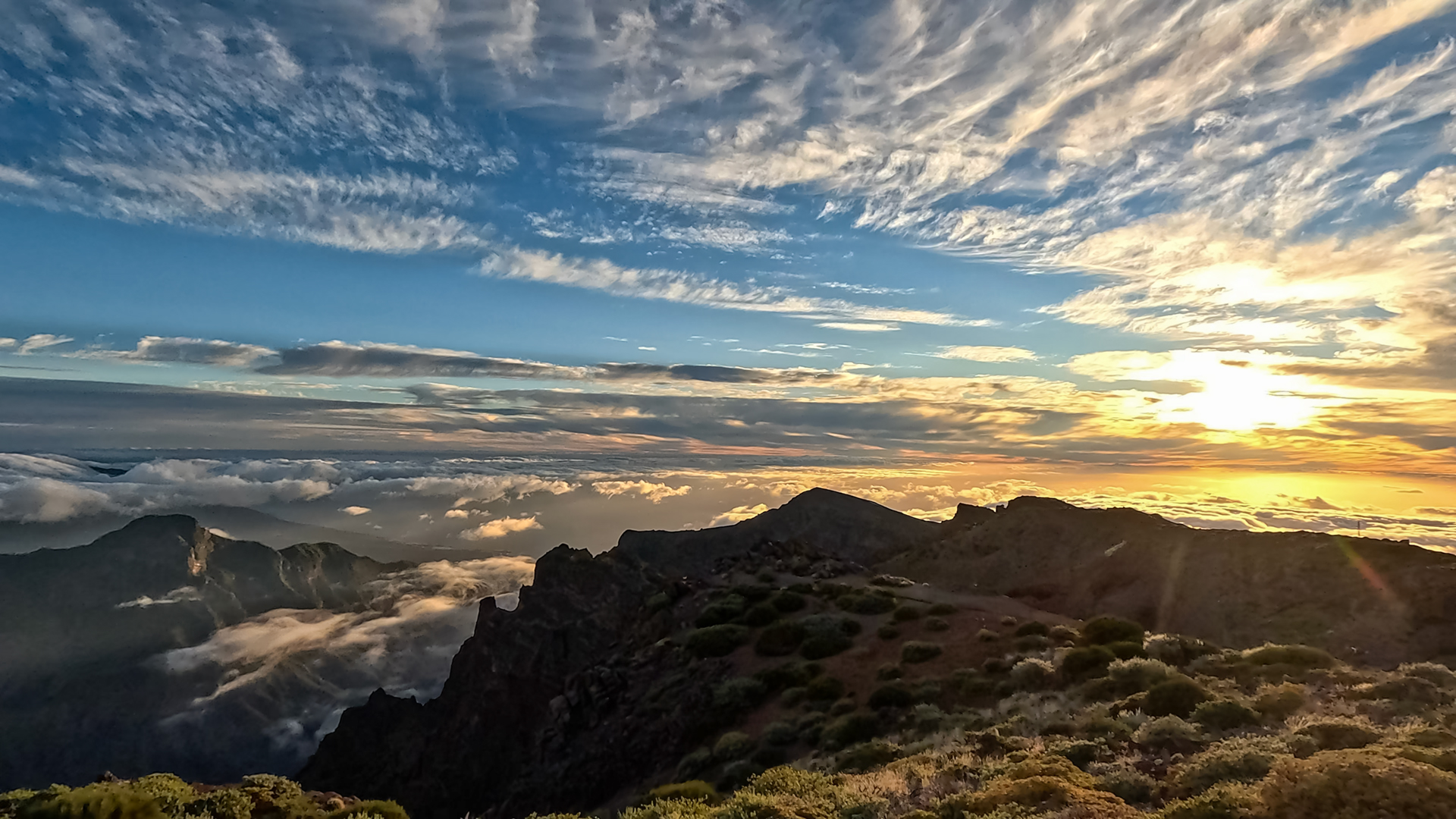
The island is at your feet at the Pinos Gachos at 2,100 meters. The Caldera, the Roque Idafe, the Pico Bejenado, the Valle de Aridane and the fresh lava flows of the Tajogaite – spread out like a geological chronicle. Then the last climb to Roque de los Muchachos: 2,426 meters, the highest point in La Palma, the observatory, the roof of the island. What began at the sea ends here.
El Bastón: the backbone hiking trail of La Palma
The name El Bastón – the staff – describes the geometry of the path: it is the vertical bar that pierces La Palma from the coast to the summit. Together with the GR-130 (the horizontal coastal ring), El Bastón forms the island’s hiking system – a cross of routes that opens up every corner of La Palma.
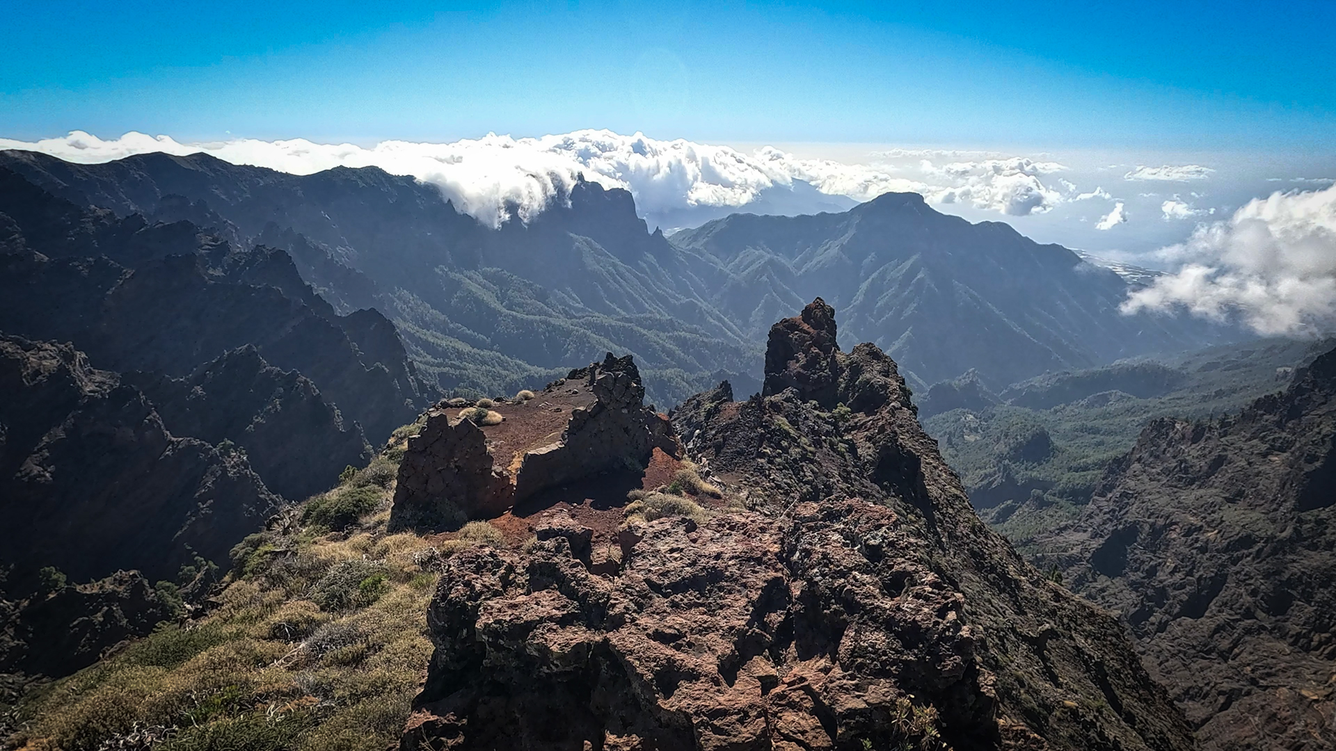
The total distance of the GR-131 is 87 km and leads over four vegetation levels: coastal zone, central agricultural area, pine forest, high mountains. The Ruta de los Volcanes then begins over the southern ridge of the Cumbre Vieja to Fuencaliente. The first stage (Tazacorte – Roque) is the most vertical and versatile: nowhere else on La Palma can you overcome all climate zones at the same time in one day.
The Tajogaite fajanas: new coast at the start of the path
From the La Punta viewpoint at an altitude of 270 m you can see the Fajanas – the new lava fields that the Tajogaite eruption poured into the sea in 2021 and which created a new coastline. These new land masses permanently changed the coastal geography: the fajanas are solid land, uninhabitable, but geologically just formed. If you start from here, you start your ascent with the youngest rock on the island behind you.
Best travel time
| Season | Character | Note |
|---|---|---|
| Spring (March-May) | Vegetation mosaic at its peak | Optimal conditions; Early start mandatory |
| Summer (June–August) | Coast and mid-altitudes very hot | Start very early; carry a large water supply |
| Autumn (Sept–Nov) | Clear visibility; pleasant temperatures | Most popular season for El Bastón |
| Winter (Dec–Feb) | Snow possible at 2,400 m | Attempt only in safe weather conditions |
Accommodation: Tazacorte — Clariso
Tazacorte is the starting municipality. Holiday homes in Tazacorte on clariso.eu — Holiday homes Tazacorte. Villa Veni is located in Las Norias on the edge of the black lava flow – ideal for an evening before the big climb.
Combinable tours
El Bastón Stage 1 is a full day tour. The most obvious combination: Stage 2 (Roque → El Pilar) the next day for a two-day crossing of the entire mountain axis:
| Tour | Data | Character |
|---|---|---|
| GR-131 Stage 2: Roque → Refugio El Pilar (Ruta de la Crestería) | 20.5 km, difficult | Second stage El Bastón — Ridge route |
| Ruta de los Volcanes | 18.7 km, difficult | South ridge continuation from El Pilar |
| Hike Mirador de los Andenes → Roque | 7.1 km, moderate | Section of the upper El Bastón ridge |
GPS track and 3D route planner
For a 9:00 – 11:30 hour stage with an altitude difference of 2,426 m, a GPS track is absolutely mandatory. The Sunhikes route page provides the track and elevation profile. With the free 3D route planner, stage 1 can be combined with stage 2 and the Ruta de los Volcanes to form a multi-day crossing of La Palma – directly in the browser, without an app.
3D route planner from Sunhikes – customize and combine routes
Practical tips
Emergency: 112. An early start (6:30 am at the latest) is mandatory for a 9 to 11.5-hour trek. Arrange return transport from the Roque in advance. Use a layering system for changing conditions: from sea level temperatures to cool summit winds (5–10°C). Water supply: carry at least 2.5 to 3 litres for the route.
Note: National Park
The upper section passes through the Caldera de Taburiente National Park. Strict rules apply: stay on designated paths, leave no trace (take all litter with you), and strictly no open fires.
Frequently asked questions
What does El Bastón mean?
Can the stage be divided into two days?
Puerto de Tazacorte: the start by the sea
Puerto de Tazacorte is the departure port on the west side of La Palma. Black lava rocks, small fishing port, restaurants right on the water. The sign at the foot of the cliff that marks the start of the GR-131 seems almost modest in view of what follows: 2,426 meters in altitude to the Roque. Anyone who has breakfast in Puerto de Tazacorte and then passes the sign is doing something symbolic – they are leaving the coast of La Palma towards the highest point on the island.
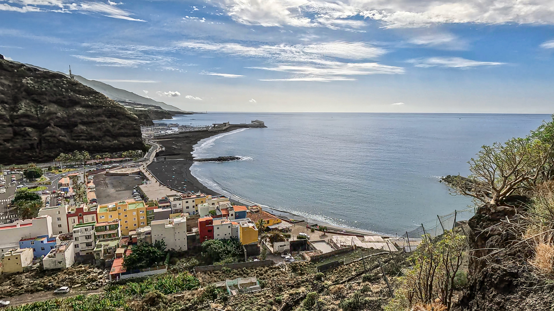
Tazacorte itself is one of the smallest communities in La Palma with one of the most striking cliffs. The cliffs fall steeply into the sea, the town is on top of the plateau. The harbour below is reached by an old road that winds in serpentines along the rocky coast. This road, the cliff, the harbour — these are the last images at sea level before the GR-131 rises and the sea becomes smaller and smaller.
Vegetation levels on a single path
Over a continuous 2,426-metre ascent you cross: a coastal zone with spurges and agaves; terraced farmland with bananas, vines and avocados; a montane pine forest zone (Pinus canariensis); and a high-mountain zone with Echium gentianoides, Bencomia exstipulata and summit broom. Each zone has its own atmosphere, light and sounds. The GR-131 is a journey through all of La Palma’s climate zones in a single day.
This article is based on the on-the-ground knowledge of the Gequo editorial team – publishers of the Reisezeit hiking guides and operators of Sunhikes.com. Last updated: May 2026


